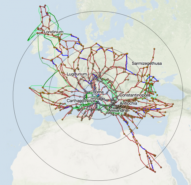
ORBIS is nearly two years old, and the ongoing update to the site has me once again in conversation with a cartographers, geographers, designers, and digital humanists…And so one of my major goals in updating ORBIS is to dramatically improve the cartogram functionality, as well as provide mechanisms to improve the use and understanding of what is a very abstract concept. This is as much a design challenge as a coding challenge, especially when it comes to properly distorting the routes that make up the network along with the sites. This post will get into quite a bit of technical detail as far as how that was done, and also touch on the growing integration of graphics and geography in the web mapping world.
Editors’ Choice: Geographics