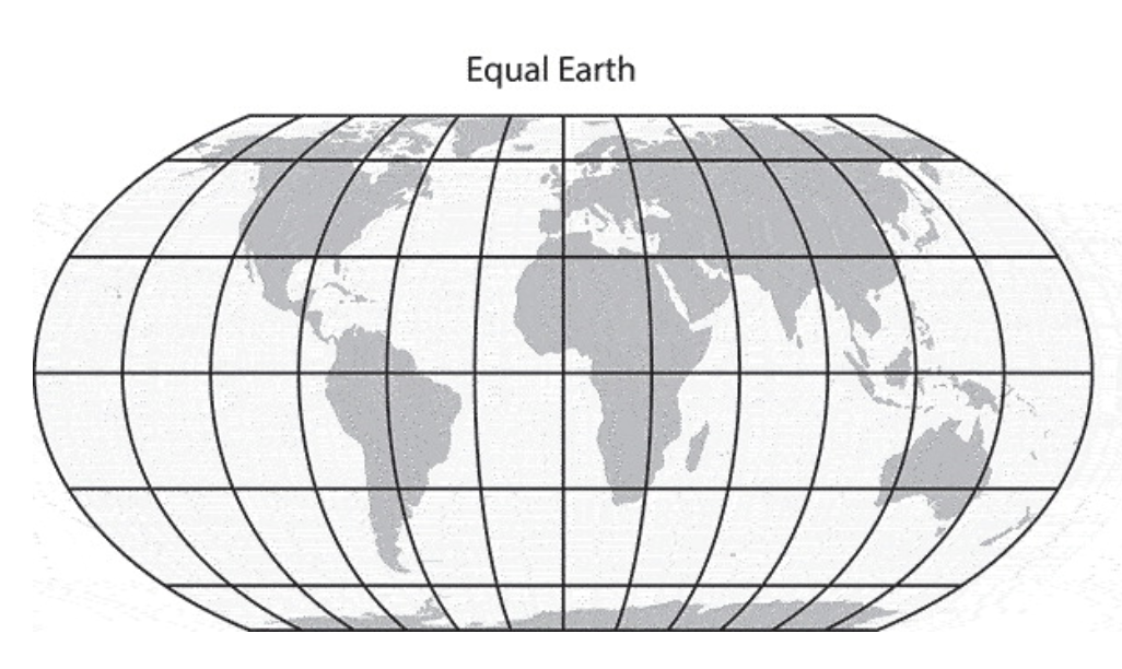


Our take: Following the United Nations’ recent vote in support of the Equal Earth projection, this article looks beyond the question of which map is more “accurate”, but to ask what map projections actually do. He traces Mercator from early modern navigation and nineteenth-century education to its continued dominance in digital mapping, showing how a practical system for linking places also became a familiar way of seeing and organizing the world. It asks a more interesting question: in an age of dynamic, interactive maps, why should the web still depend on a single default projection at all?
Editors’ Choice: Projecting emotions: Mercator and Equal Earth